Modeling Water Supply And Demand In The Transboundary Rio Grande To Support Long Term Management Strategies

Changes in population, agricultural practices, and climate are increasing demands on available water resources, particularly groundwater, in the southwest.
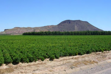
One affected area is the agricultural region along the Rio Grande as it runs through Doña Ana and Sierra Counties, New Mexico, El Paso County, Texas, and Northern Chihuahua, Mexico.
To better inform management decisions in this stressed system, scientists from the California Water Science Center and others have completed a Science Investigations Report (SIR), documenting a new hydrologic model, the Rio Grande Transboundary Integrated Hydrologic Model (RGTIHM), that simulates the use and movement of water across the transboundary Rio Grande region. The goal of this work was to help evaluate water-management strategies and to support long-term planning for the Bureau of Reclamation’s Rio Grande Project.
The SIR documents model construction and applications by the U.S. Geological Survey, working in cooperation and collaboration with the Bureau of Reclamation. The RGTIHM models physically-based flow processes in a supply and demand framework. From this model, the physically-based movement of groundwater, surface water, imported water, and precipitation serve as supply to meet consumptive demands associated with irrigated and non-irrigated agriculture, natural vegetation, and urban water uses. Water consumption is determined by balancing the available water supply with water demand.
Source: The U.S. Geological Survey
