InfoWater Pro
Source: Autodesk, Inc.

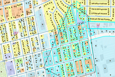
Engineers use Autodesk InfoWater® Pro software to model water distribution systems in an easy-to-use GIS interface.
-
Leverage spatial analysis tools available in ArcGIS Pro to help with model building and management.
-
Analyze and understand criticality in your system, including pressure transient events.
-
Present results clearly and share them in ArcGIS Online.
Learn more here.
