Consultant's Corner: Top 5 Requirements for Good Modeling

By Dr. Jon Wicks, CH2M Global Technology Leader for flood risk modeling
Recently, I participated in the 2015 European Conference for the Flood Modeller Pro software, which provided a unique forum to share best practices and lessons learned to further develop the flood modeling community, as well as opportunities to make new contacts and refresh existing ones.
Many of the presenters shared knowledge on how to carry out ‘good modeling’. From these presentations, I identified five common requirements for good modeling.
- Good data
- Good software
- Good modeler
- Good planning
- Good communication of modeling outputs
Good data
Data sources for flood modeling include surveyed dimensions of concrete structures, surveyed natural features such as channel sections and terrain, hydrometric data, and ‘softer’ data such as Twitter feeds. The data may originate from official sources and from the community. Making best use of the potential immense amounts of data is a challenge — we need to be able to identify the data sources that will be most useful — using the good data and not using the misleading data. The concept of ‘too much data’, particularly for outputs, was also raised at the conference.
Good software
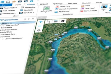
A range of software tools are available today, and it is unlikely that one single product can provide all the functionality for most projects. Linking of computational software is important, as is the use of standard formats to allow the same data to be accessed in multiple software products. Flood Modeller Pro and associated products were seen as being good flexible software, which allows the modeler to schematize the real world and have fun(!) modeling.
Good modeler
Good modelers need to know much more than just which buttons to click within the software, including knowing the limitations of software tools and being able to assess the results to see if they make sense hydraulically. They also need to have the imagination to work out how to best represent the real world with the toolkit provided by the software available. A collaborative attitude is important too, not just with other members of the current project team and client, but also with previous teams who worked on the same location. Problem solving skills are essential — including the ability to assess different approaches and decide which approach is best for the needs of the project.
Good planning
The importance of the initial planning phase within a modeling project was reinforced by the presenters. During this phase, it is important to understand the likely hydrological and hydraulic characteristics of the project area. This, together with knowledge of the objectives of the project, will help define the schematization, such as which areas should be modeled in 1D, 2D, or linked 1D-2D. Grid sizes can be defined and link line positions identified. It is important that the modeler and their client agree the appropriate level of detail for the project. This may require certain compromises to be made. The approach to calibration can also be agreed — probably starting with an in-bank calibration before moving on to the floodplain calibration.
Good communication
Finally, effective communication of modeling outputs was also discussed. The outputs need to be presented with ‘simple clarity’ to enable appropriate and timely actions. This is particularly important in emergency response situations. In some circumstances web-enabled dashboards, which include model generated outputs, will be good approaches for disseminating outputs. The project demonstrations included 3D visualizations in Flood Modeller with aerial photography draped over LIDAR data to enhance accessibility of results.
If you were not able to attend the event, or would like a reminder of what was shared, a selection of the presentations are available on our website. For further information about Flood Modeller Pro, download our factsheet or visit our website.
Dr. Jon Wicks has more than 25 years of post-doctoral experience, including flood modeling of the Thames and Lower Mekong. A key part of Jon’s role is to work at the interface of flood modeling research, software development and customer requirements to ensure that innovative, efficient and effective tools are developed and used to improve the management of flood risk.
